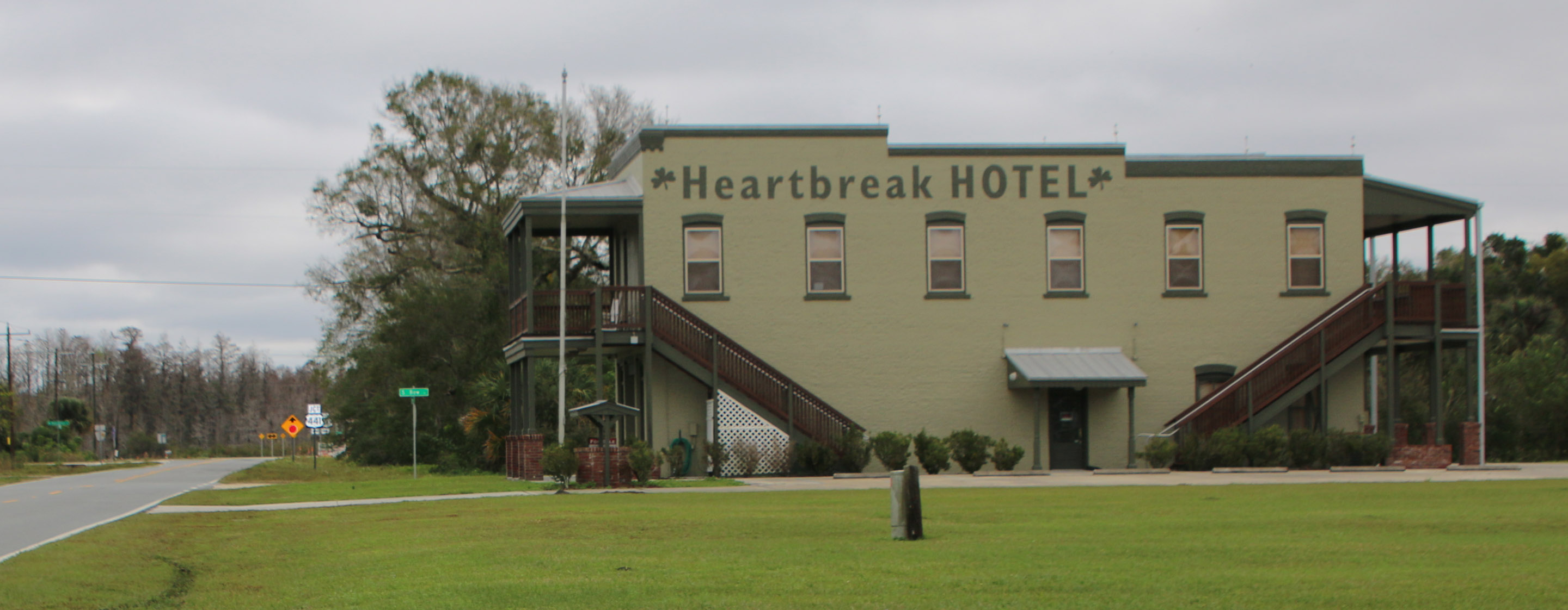
A Haines tradition for years has been breakfast in Yeehaw Junction. Notice I didn’t say Haines Family Tradition. That would be incorrect. It’s just me.
It kicks in whenever I go north on the ‘turnpike’ (AKA Florida’s Turnpike, The LESS STRESSway, The Ronald Reagan Turnpike, Florida’s Main Street—it depends on what sign or website you’re looking at).
But turnpike will do it. Everyone recognizes that as the name of the 312-mile toll road that stretches from just above the Florida Keys northward to where it meets Interstate 75 at Wildwood in north central Florida.
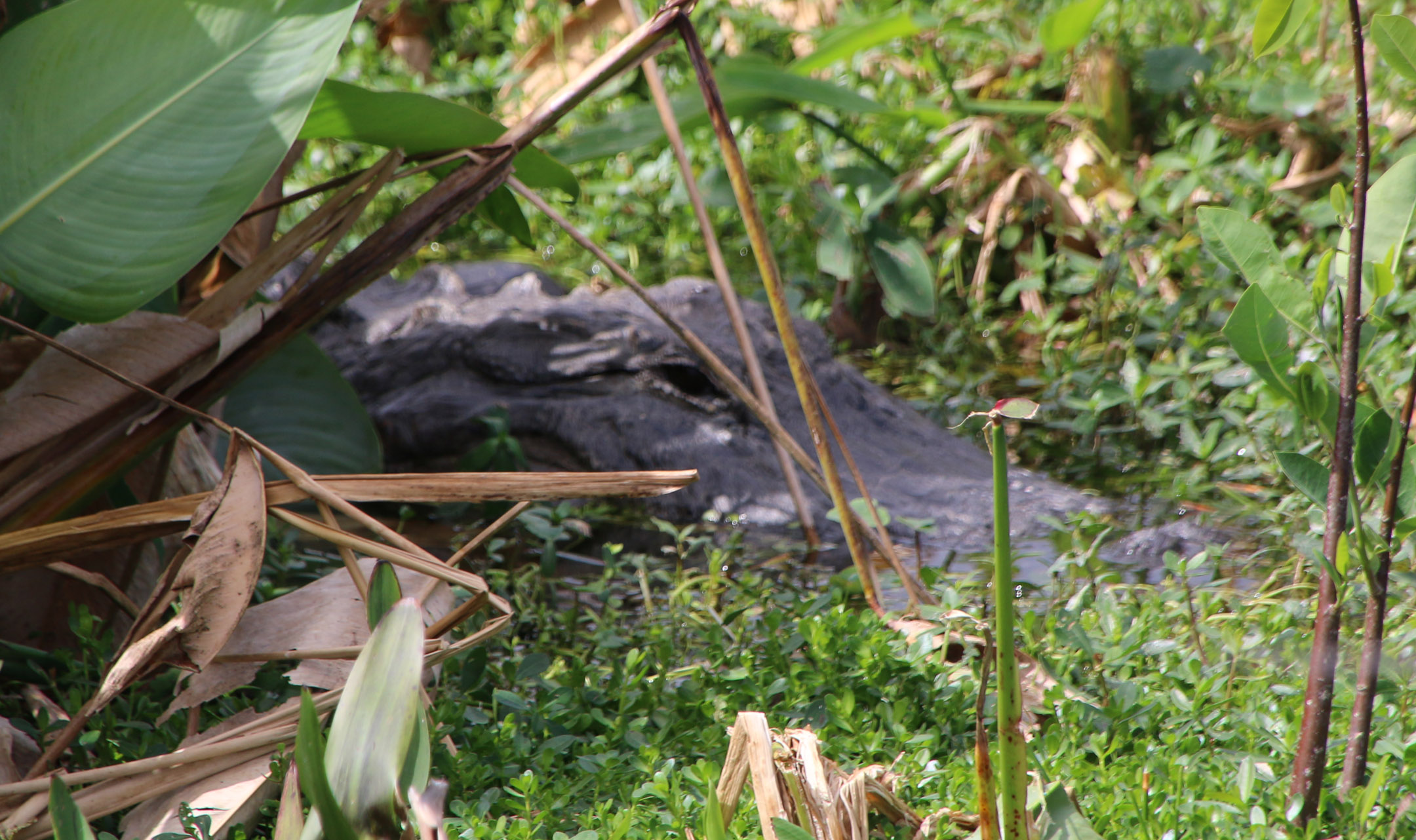
On the turnpike, just 90 minutes from my house, is a tiny flyspeck called Yeehaw Junction (population 240—one Asian—as of the 2010 census), two gas stations and an old motel/bar/restaurant where US Route 441, State Route 60 and the turnpike meet. There used to be a tourist spot there where one could buy discount tickets to the Orlando tourist parks to the north, but the internet age spelled the death of that and it slowly withered away, along with all the signs every mile or so along the turnpike northbound proclaiming its presence. And there used to be a third gas station, as I recall, one where we’d stop occasionally for homemade ice cream when Jennifer was small. It burned down long ago and there’s just a concrete slab with weeds growing in it there now.
The town was named “Jackass Junction” or “Jackass Crossing” back in the early 1930s, when area ranchers rode in on burros to visit the local brothel. As the 1950s approached, the Florida legislature felt that construction of Florida’s Turnpike through the center of the community sort of mandated a name change, so it became Yeehaw Junction in 1957.
For a while its rural nature was threatened by a massive proposed city called Destiny, a 41,000-acre housing development that would’ve added 250,000 people to the population. Amid objections from just about everyone, that project was shelved in 2010. (But, this is Florida, so it’ll come back I am sure—getting a grip on development here is like a horrible game of Whack A Mole)
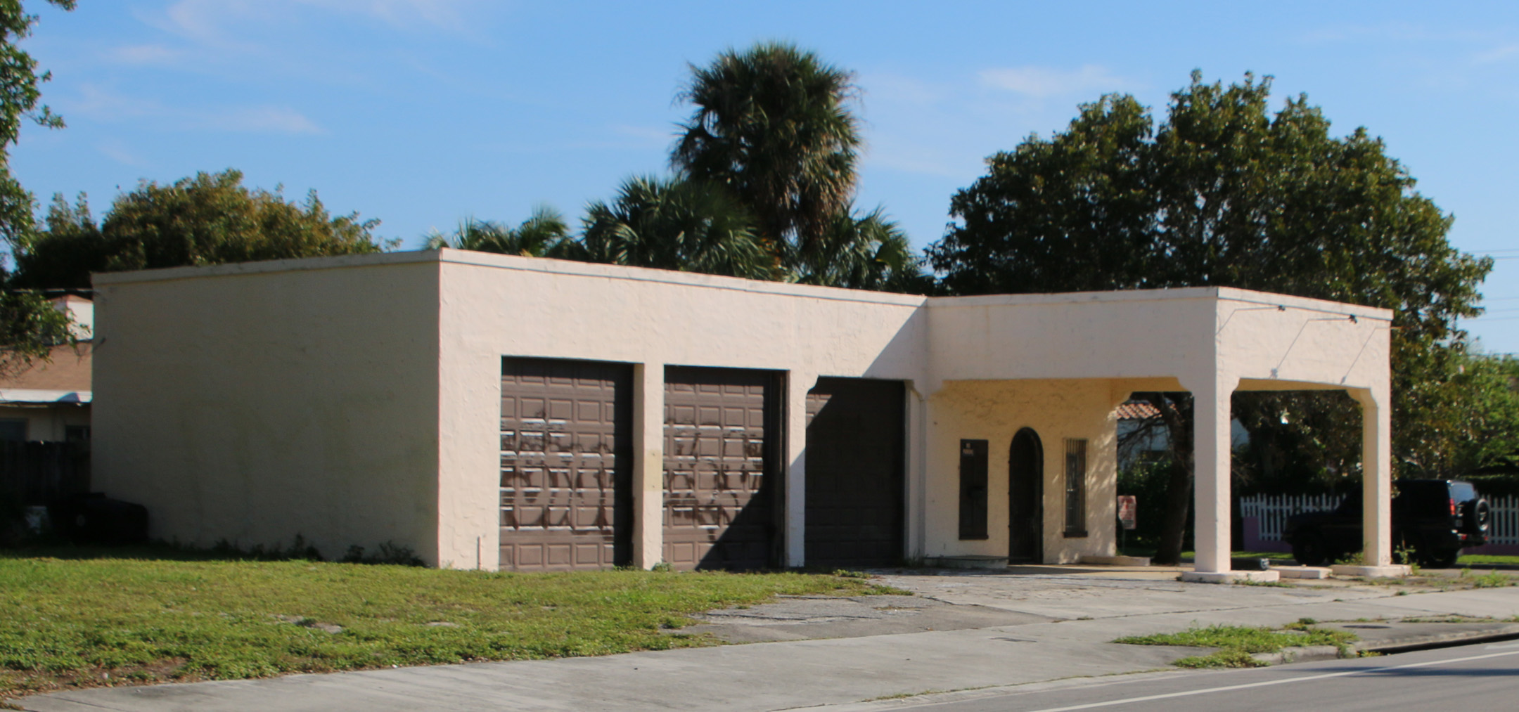
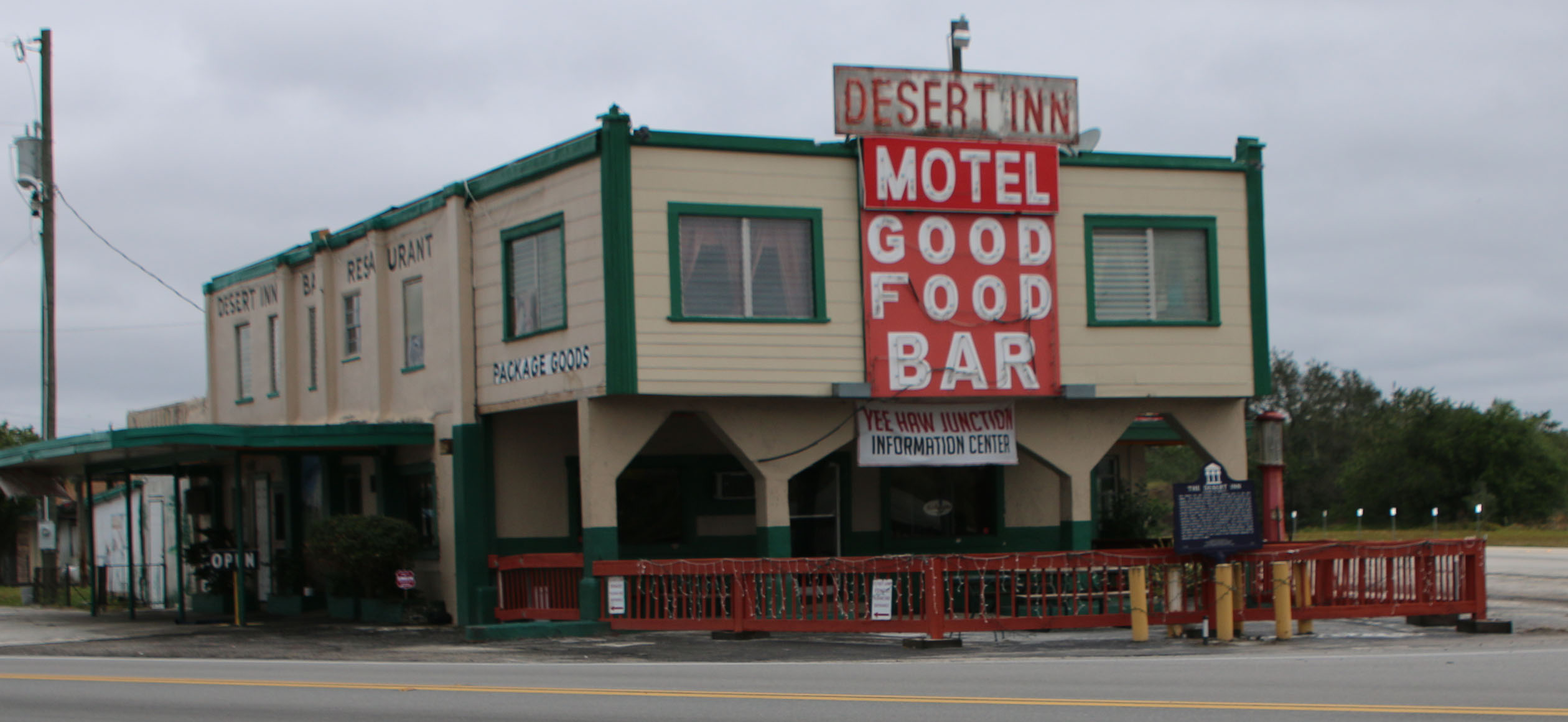
It’s the old motel/bar/restaurant that draws me off the turnpike at Yeehaw Junction. Yes, it was the ‘local brothel’ referred to above. It’s called the Desert Inn. According to the Orlando Sentinel, it was a barroom and brothel catering to cowboys and lumber workers as early as 1889. Through the years, the Desert Inn has been a trading post, gas station and dance hall. In 1994 it was listed on the National Register of Historic Places.
For me in the 1980s and 90s it was a place to stop off with Sierra Club friends on the way home after attending meetings around the state.
In recent years it’s been a breakfast stop whenever I am northbound, especially after I discovered the cook used grease from the bacon to fry the eggs. Just like my Dad used to. Through the years it has changed hands several times. Hitting it for breakfast was always a bit dicy: too early and it might not be open (for a while the opening time was ‘nineish’), too late and they may have stopped serving breakfast—it all depended on who was in charge.
On the way north recently I stopped there about ten in the morning. It wasn’t open. Fearing that maybe it had closed altogether—it’s happened before—I planned my return trip later in the week to swing by there at lunchtime. It was open, so I stopped for a bite and asked about breakfast hours. Sadly, they no longer serve breakfast.
It hasn’t changed much, same configuration of booths and tables. Gone, however, is the network of plastic spiders hanging from strings attached to the ceiling above the seated patrons. All the strings led through eyehooks to the bar, where the bartender could yank them up and down, depending on who he or she wanted to scare. In their place is a collection of dollar bills, police patches and old license plates pinned to the ceiling and walls.
No, I did not check out the ladies’ room to see if the attraction is still there. I’ll leave that to my feminine Florida friends.
The old, life-sized stuffed warrior and squaw, complete with papoose, have been moved from the dark corner by the bookcases to a more cheery table by a window, so they’ve made out OK.
Me….I miss the eggs fried in bacon grease.
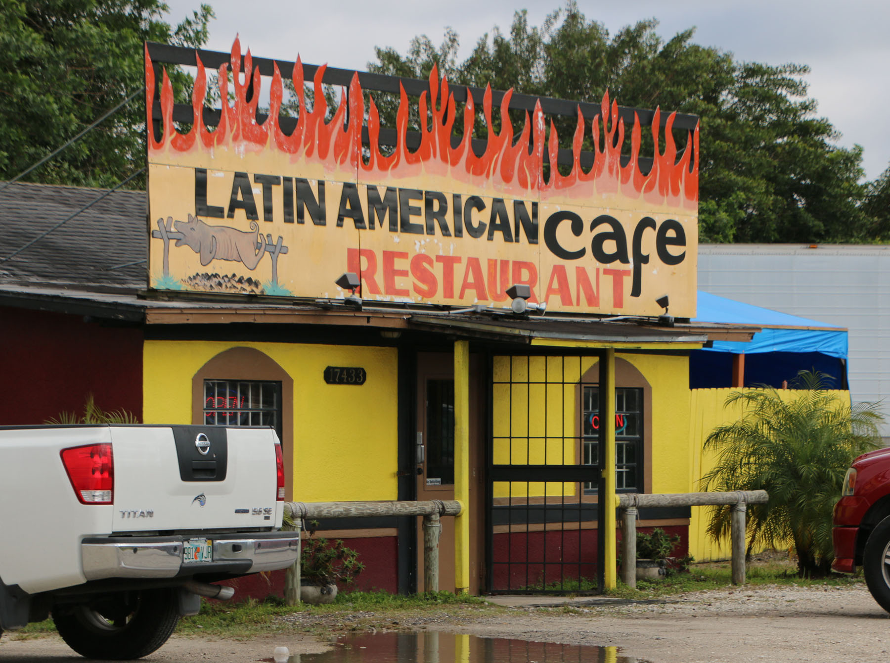
PS. I didn’t go completely without sustenance that morning on my way north. I stopped at the unlikely looking Latin American Café and Restaurant in Bithlo, FL, and had my normal two eggs over easy, toast, bacon, potatoes and coffee. It was delicious. The bill was $5.32. But no, the eggs were not fried in the bacon grease.

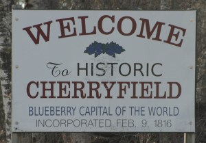
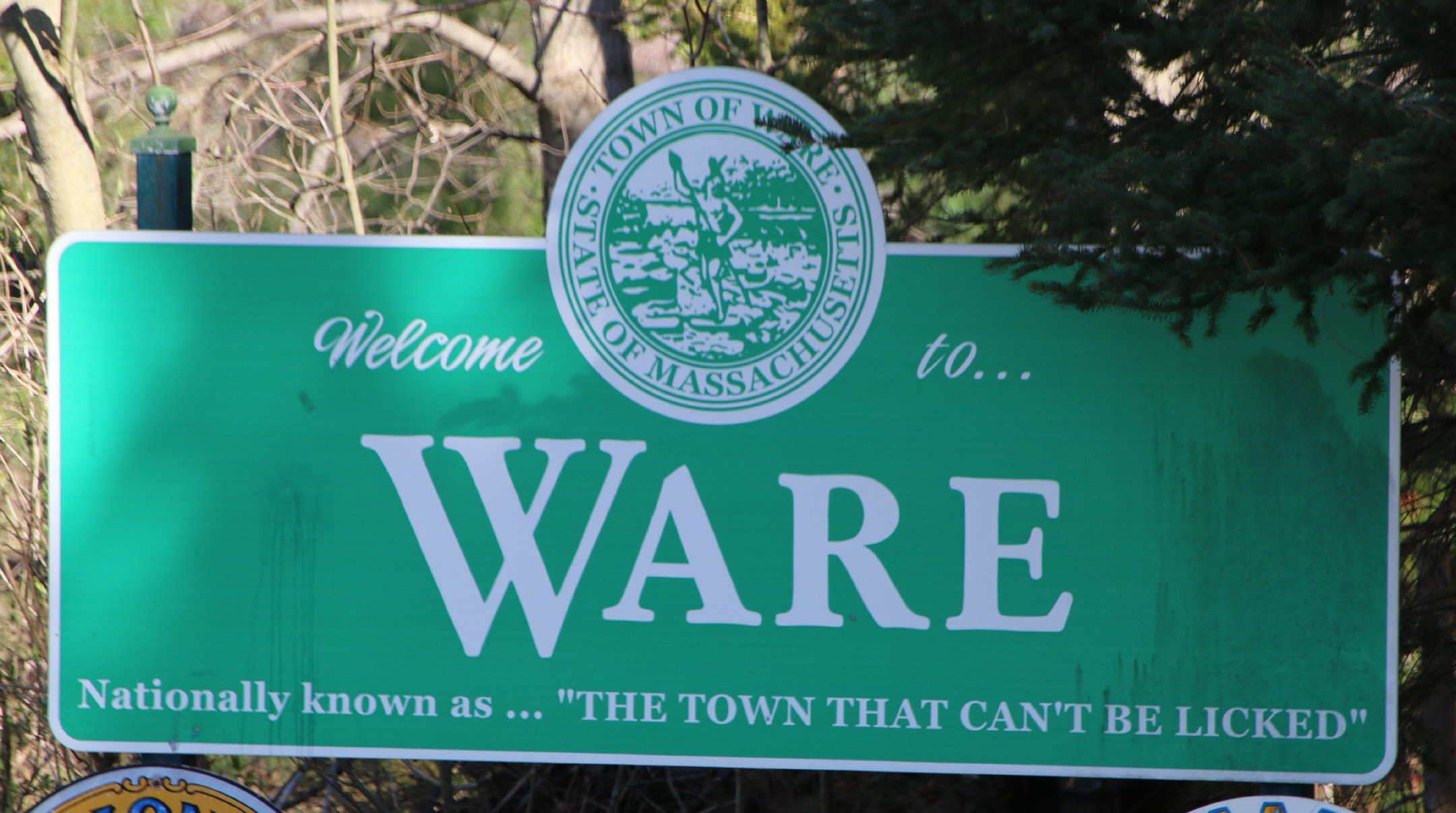
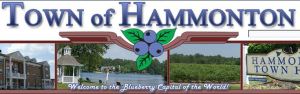 …only to discover later that two other towns, one in New Jersey (Hammonton) and one in Michigan (South Haven), made the same claim.

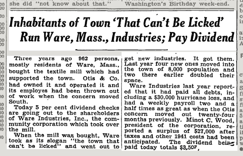
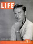 Life Magazine heralded the event in the May 23, 1938 issue with an article entitled Life Goes to a Party: Ware, Mass. Celebrates Comeback. That was the 1930’s equivalent of going viral.