This past weekend I hit some favored sweet spots, including one I thought would be long gone by now. (If you’ve tuned in to this post just to see the paddling photos you can skip down to the gallery at the bottom)
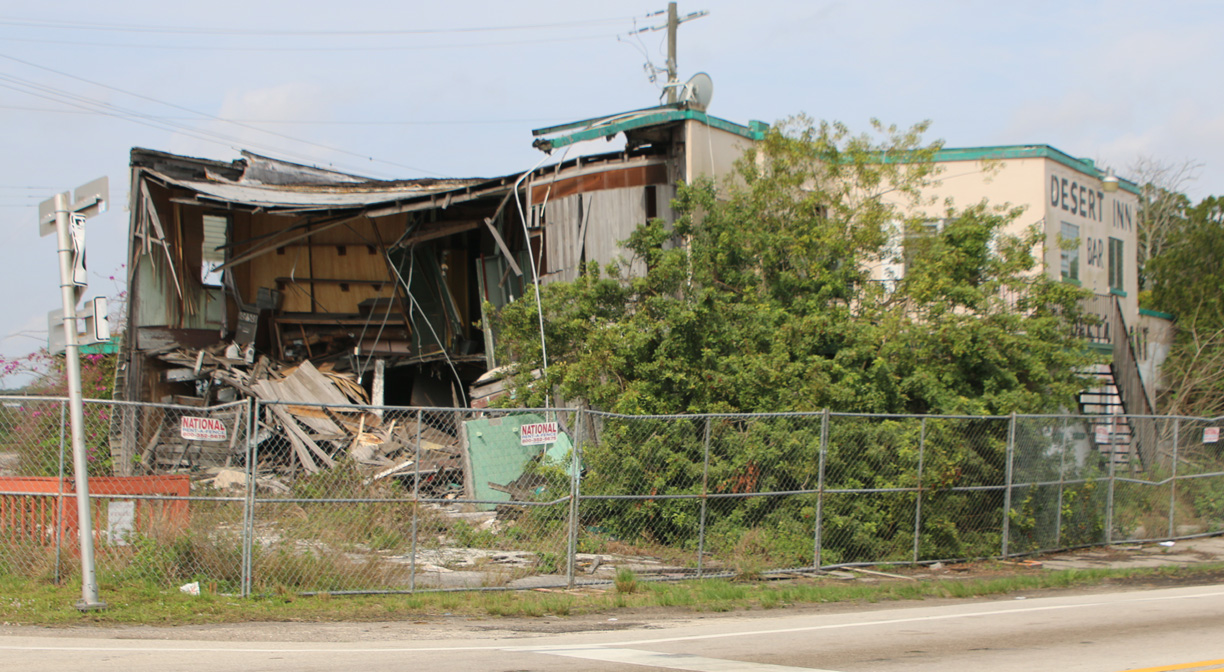
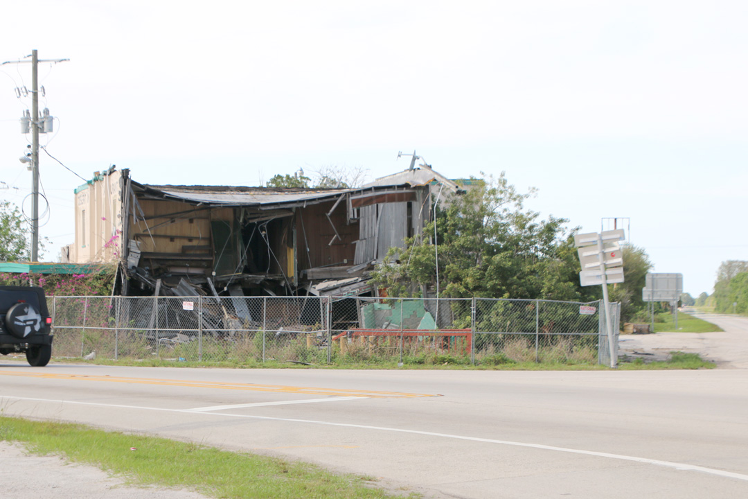
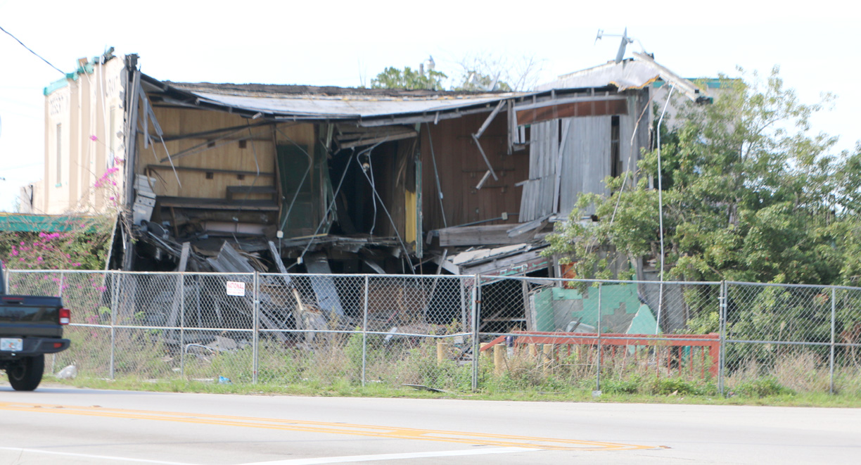
The Desert Inn at Yeehaw Junction.
It remains mortally wounded, but still hangs on for some reason.
Half destroyed by an errant trailer truck at the end of 2019, I thought what remained would be torn down and long gone by now.
It hasn’t been rebuilt. It hasn’t been demolished. It is still there four years later, a sad heap at the intersection of U.S. 441 and State Road 60 in east central Florida. I suspect the local historical society, which owns it, just doesn’t have the money to deal with it.
This previous blog post has a photo of it in its prime and a few with the truck embedded in it, as well as some history and its place in my life. Below are some photos from the weekend.
—
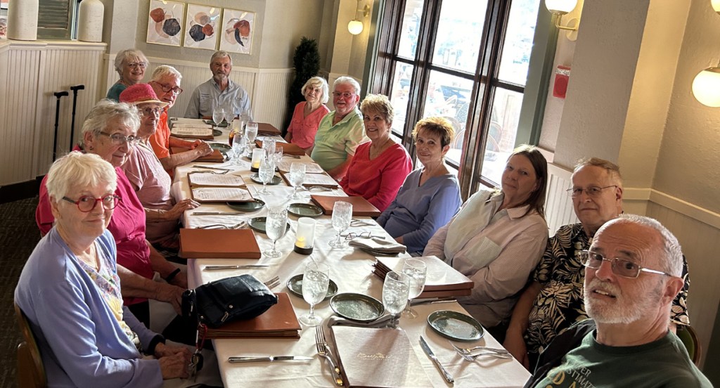
Seeing high school friends.
The handful of 1962 graduates of Bradley-Bourbonnais High School in Bradley, Illinois, who hang out in Florida (or nearby) in the wintertime, gathered in The Villages once again for a leisurely weekend. I dropped in for lunch and dinner on Saturday.
As I have said before, I didn’t renew any high school friendships until the 50th reunion, in Illinois, in 2012. I have found each encounter since then to be increasingly pleasant. It’s not quite the same category as “someone I’ve known all my life.” It’s more like that weird feeling of “Wow, here’s someone I went to high school with” coupled with “here’s how they turned out.”
Here we are at dinner (I’m the big head at lower right).
—
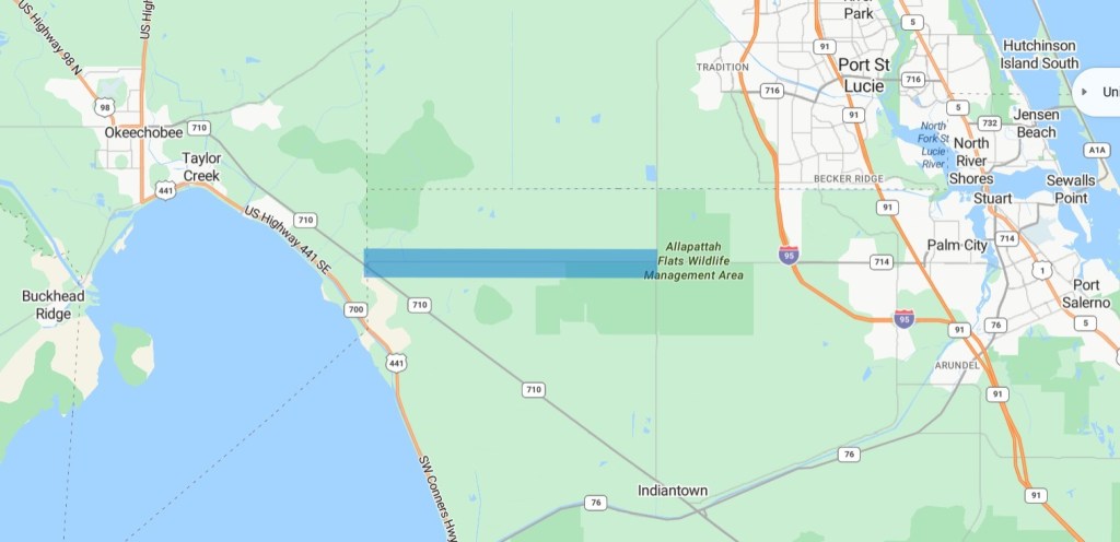
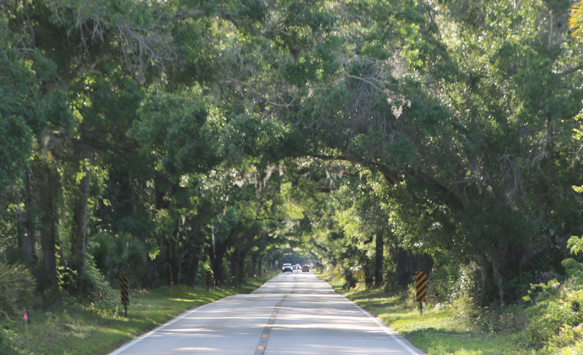
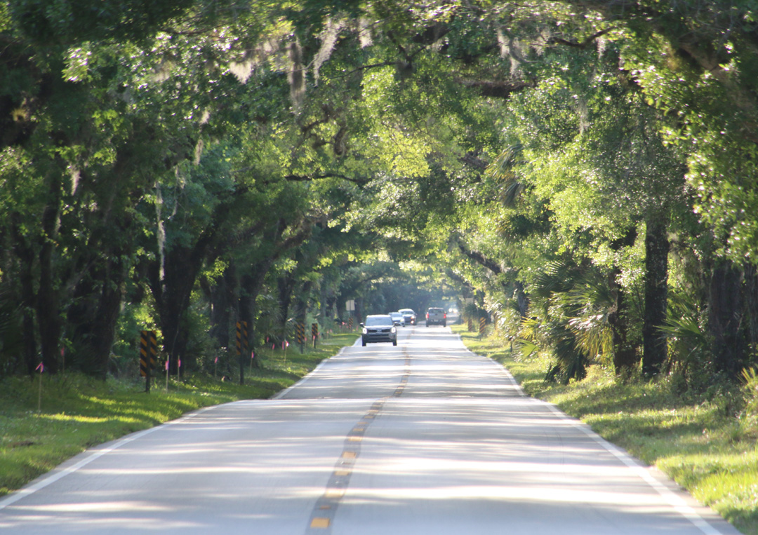
Scenic drive in Martin County.
It’s called the Martin Grade Scenic Highway. Some of the tourist literature describes it as this splendid, 60-mile drive through old and scenic Florida, connecting Okeechobee at the top of Lake Okeechobee with Stuart over on the east coast. Don’t be fooled! Only twelve miles of it are the ones that count: a two-lane road mostly canopied by old, moss-draped oak trees. The rest of the route is about like you’ll find elsewhere in what is left of rural central and south Florida.
Those 12 miles, however, are worth searching out if you’re passing through the area. Some descriptions still have the original swamp and forest of Florida surrounding the road, but the reality is that there is just a narrow band of natural beauty left on each side of the pavement before the landscape becomes the drained dry ground that is most of the state today.
Officially called Southwest Martin Highway, it’s the last bit before hitting State Road 710 at the end of State Road 714 going west from Palm City. I’ve highlighted it in blue on the map below and added a couple photos below that.

—
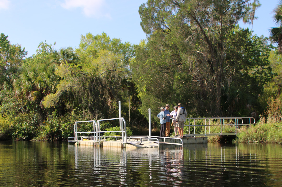
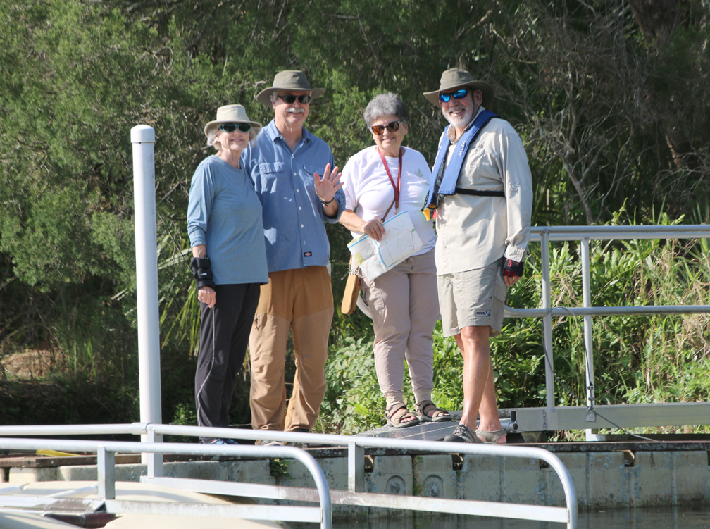
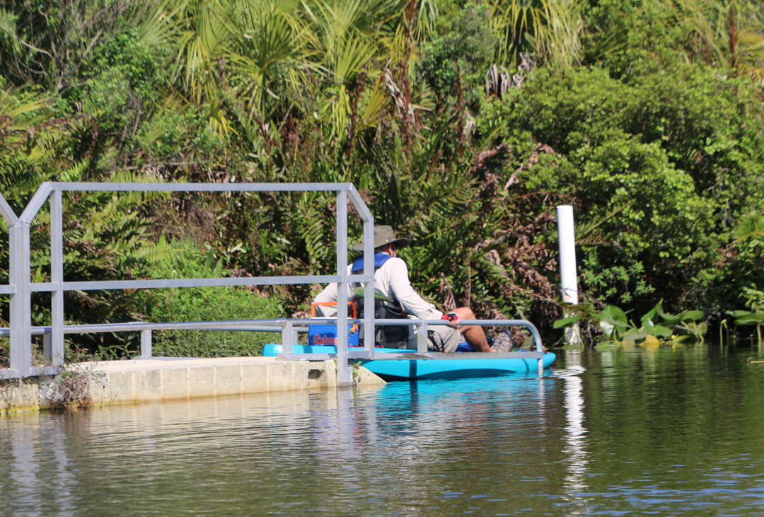
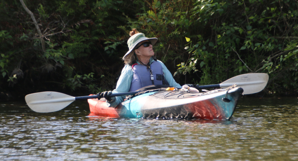
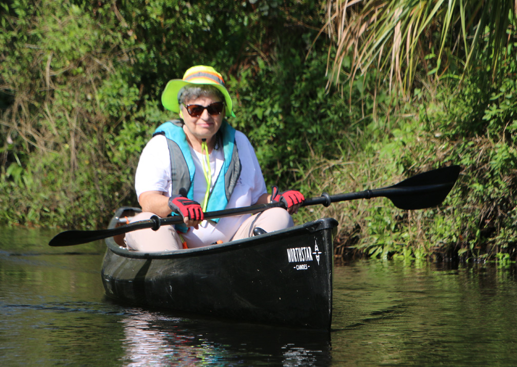
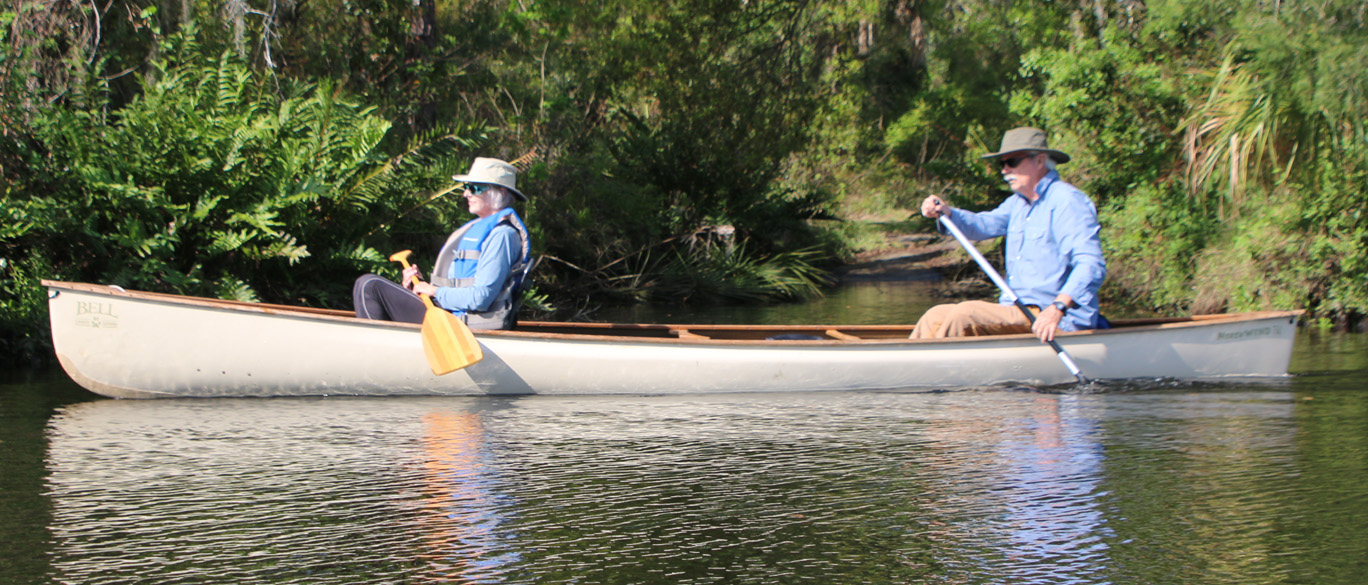
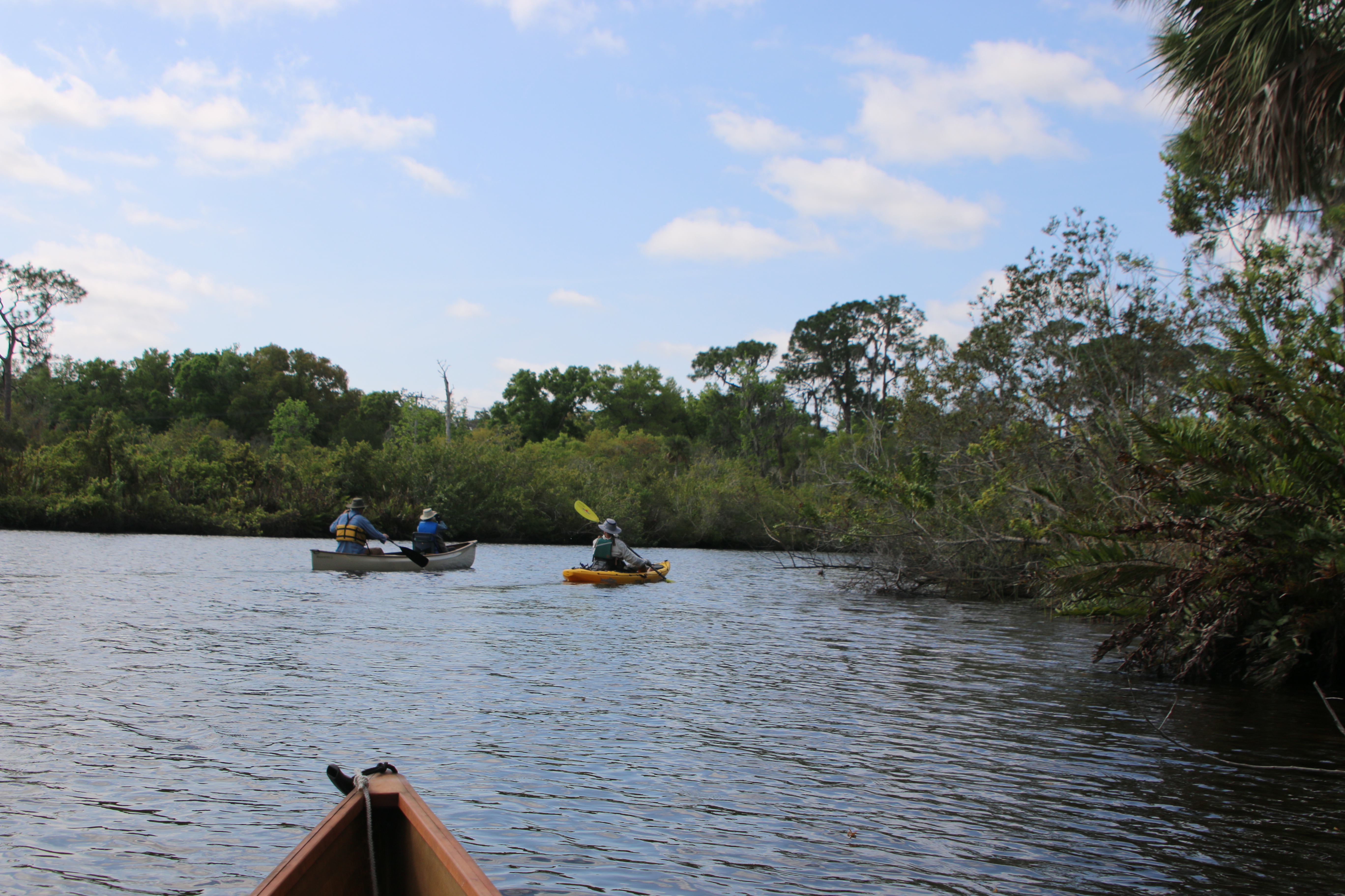
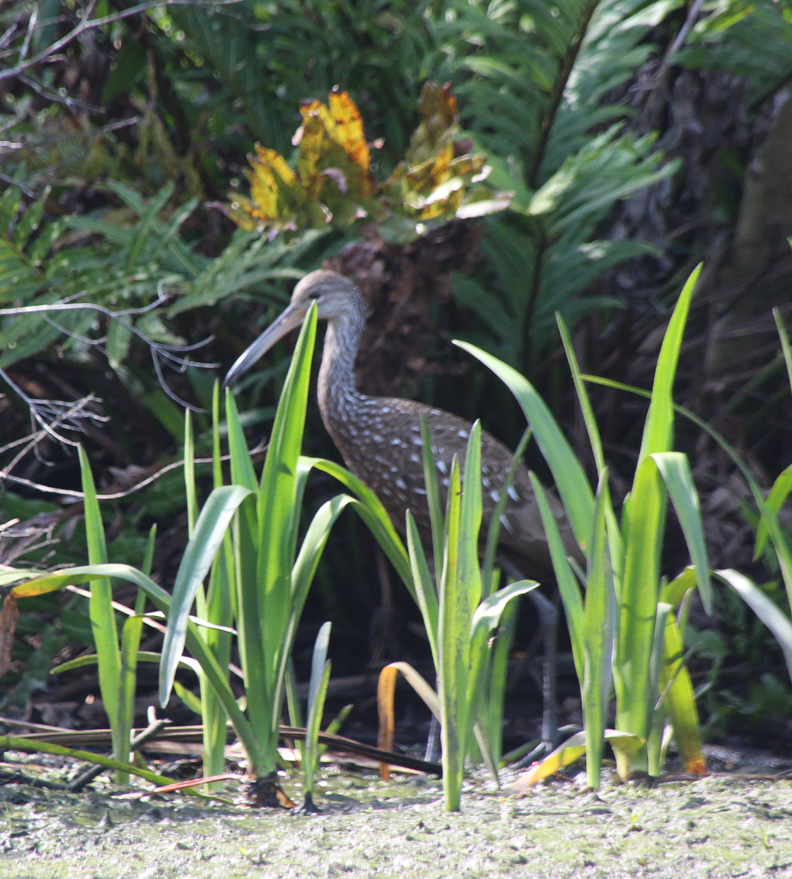
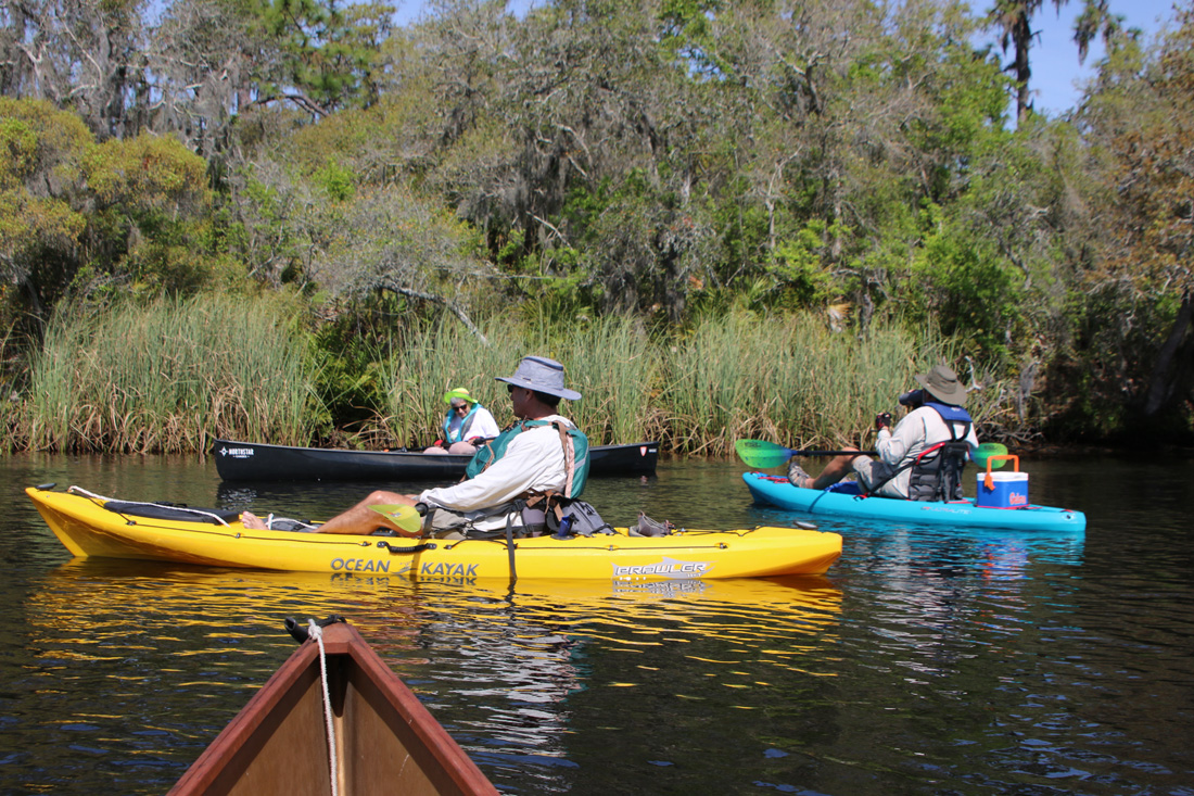
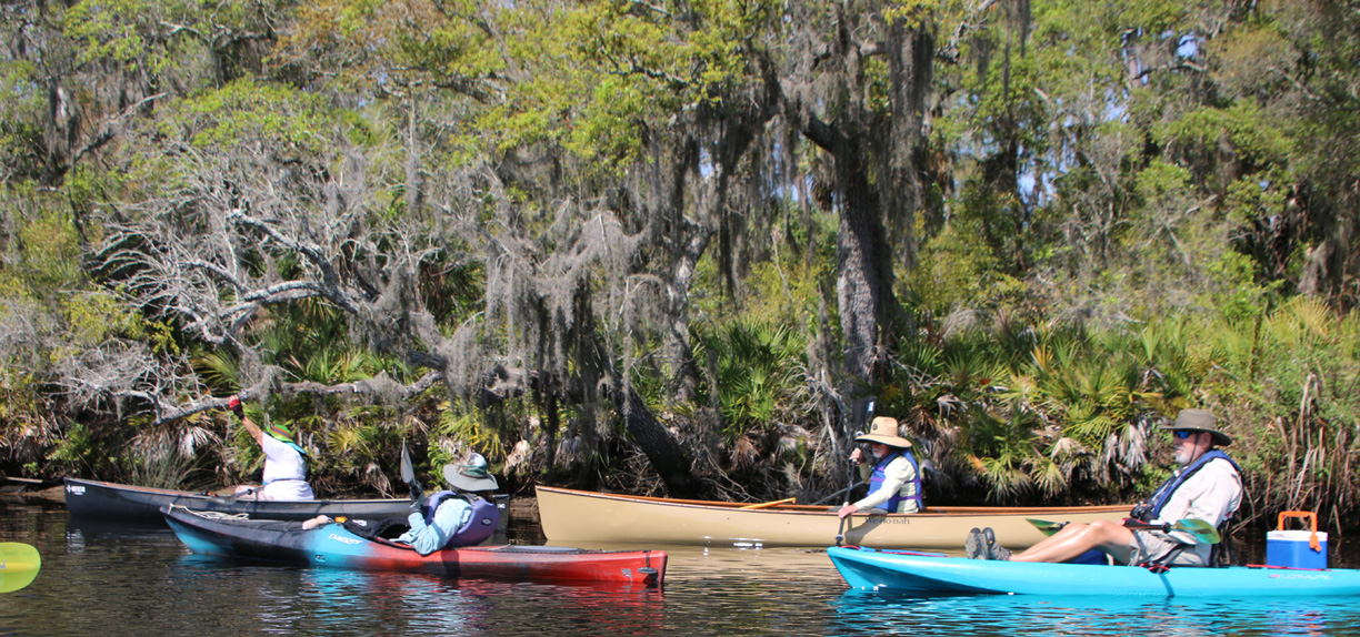
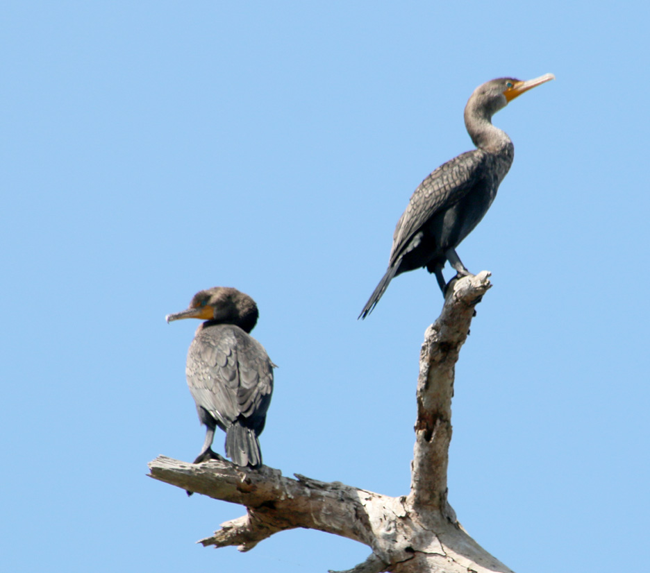
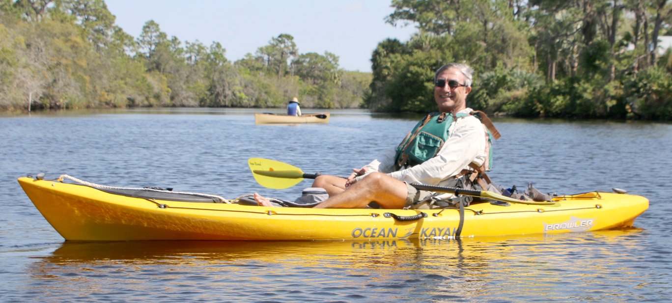
Paddling a pleasant river with nice folks.
I took advantage of being over on the other side of Florida to paddle a bit of the Little Manatee River with some fellow Sierra Club volunteers from the Tampa Bay Group on Sunday.
For any of my friends who travel around the state and are looking for things to do, the Sierra Club has finally moved into modern times and you can now go to the Florida Chapter website and see a calendar of what outings all the groups have going all over the state.
That’s how I happened upon the Tampa Bay Group’s paddle outing on the Little Manatee. Below are some photos from that. Click on any one of them to scroll through the large versions. You can also download any that you wish when in the scrolling format.